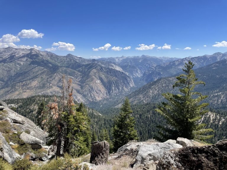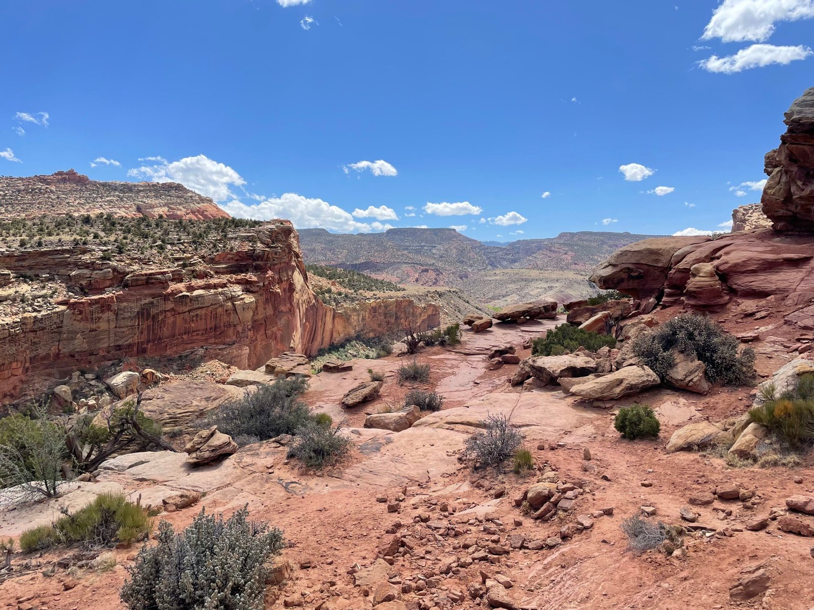
It’s the bridge between the Moab-adjacent and Vegas-adjacentish Utah parks: Capitol Reef. Tucked in southern Utah far away from major civilization, let’s talk Capitol Reef National Park.
What is it?
Certainly not the Capitol and the Reef is on it’s side! A zany, rocky wilderness with a Mormon history and a heckuva dark night sky.
Fast Facts:
Location: Southern Utah
Founded: 1971 (prior, a National Monument since 1937)
Size: 377.98 square miles
Cost: $20/car, $35/annual pass (if it’s in your budget, just buy the $80 America the Beautiful pass – access to every national park without additional fees for a full year)
Visited: 2023
The Ridley Review:
In Harry Potter and the Sorcerer’s Stone (Philosopher’s Stone for you Brits out there!), there is a poignant scene where Ron Weasley glimpses into the Mirror of Erised and reveals both his deepest desire and simultaneously his biggest fear. He sees an elevated version of himself, the most successful of his illustrious brothers. In doing so, he shows a deep fear of being forgotten amongst his many incredible siblings.
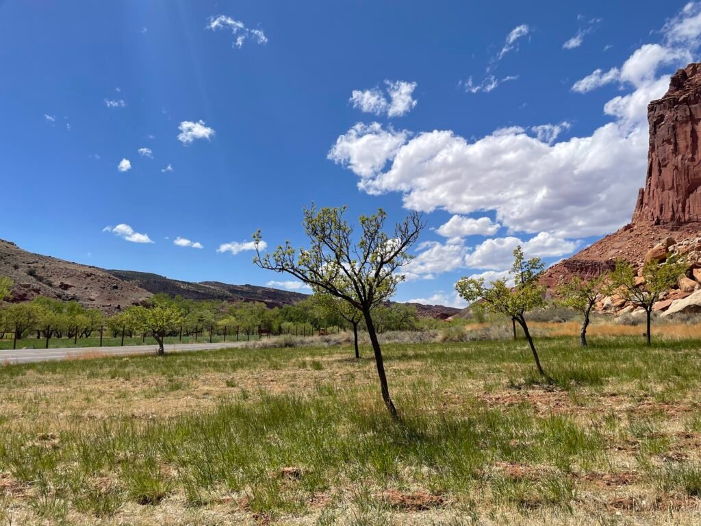
The Ron Weasley of the 5 Utah National Parks, Capitol Reef floats in between the two pairs of more well-known places: Arches and Canyonlands in the east, and Zion and Bryce Canyon to its west. It is the toughest of the 5 to reach by virtue of not being near any sizeable town, as most of the park is surrounded by an assortment of national forests, monuments, and recreation areas. It also lacks an iconic feature compared to Delicate Arch, massive squiggly craters, Hoodoos, and Zion Canyon. That doesn’t mean Capitol Reef is any less spectacular, however. This is a stunning place in its own right with rock layers of different compounds that have been flipped on its side over millions of years, making the striped landscape almost look painted-on. History, both of Native Americans and the Mormons, abounds. Fruita, the remnants of a 19th-century Mormon settlement, provides a shock of green on an otherwise red landscape. Backcountry exploring options are nearly endless.
During a move, I drove through all 5 Utah parks in one otherworldly week. Maybe it was fatigue, but I hit Capitol Reef 3rd and the red-hued horizons may have lost a tiny bit of magic compared to first sight, leading to a lower ranking below. There are still plenty of diverse trails to explore even on the main roads, taking you to overlooks, into canyons, and to streams and arches.
The Layout
At this point, I feel like a broken record: another park that is very long and narrow on a map. One road, Highway 24, bisects the park in the middle. This takes guests to the main visitor center in Fruita, central in the park, and provides the only access to the park’s scenic drive, which goes out-and-back 12 miles each way South from the visitor center.
Besides the main highway through the park and scenic drive, there are more remote areas to explore as well: to the South, the Southern Waterpocket Fold and to the North, the Monoliths and South Desert. See the “roads” section below for more info.
Nearby towns include Caineville 10 miles East of the park on Highway 24, and Torrey (5 miles) and Bicknell (12 miles) West of the park on Highway 24. While the towns are quite small, each does have restaurants, provisions, and lodging.
Transportation
A car is non-optional here. No other transportation exists within the park. There are unpaved roads in the Northern and Southern ends of the park that require 4WD.
Activities
Hiking is the main thing; rock climbing and horseback exploring are also options. Biking the Scenic Drive is a great way to experience Capitol Reef.
Roads and Gas
Highway 24 is the main road through the park – cuts through East-to-West leading to neighboring towns outside the park in both directions. The Scenic Drive and visitor center are accessed from 24 – right in the middle of the park, there is an intersection to turn onto the Scenic Drive. The Scenic Drive, parts of which are closed in 2024,1 goes for 12 paved miles south of 24 before becoming unpaved and increasingly rugged. To explore the unpaved section beyond the Capitol Gorge offshoot or the first couple unpaved mile on the main Drive, a 4×4 vehicle is needed.
The same goes for Cathedral and Hartnet Roads in the Monoliths region of the park up North. Not accessible from the main roads inside the park, you can pick these up from Highway 24 outside of the park to the East, between Caineville and the entrance station. From the West, these can be picked up from Fishlake National Forest. Very rugged roads, 4WD a necessity to explore these roads.
Down South, the Waterpocket Fold region has two unpaved roads as well: the Notom-Bullfrog Road, running North-South, can be accessed by turning onto a paved section right by the Eastern entrance to the park on Highway 24. The road becomes unpaved the further south you travel, and you eventually re-enter the park in the Southern Waterpocket Fold section. The road eventually intersects with Burr Trail Road, which runs East-West in the Fold region. From the West, this road can be accessed from Highway 12 and from the East, Highway 276. The Burr Trail Road is paved outside the park boundaries, but the section that bisects the park is unpaved. These roads are better maintained than their Northern unpaved counterparts.
Gas is available 5-10 miles outside the park in Torrey and Caineville.
Rating:
Due to the remote setting, don’t plan a trip just to here; if you can, allow it be a part of a grand journey through all 5 Utah National Parks.
Food & Lodging
Food
PIE! The Gifford House store in Fruita has fresh-baked pies sold daily. Make sure to get there early enough – they usually sell out by mid-afternoon (I just missed out myself when I was there). They also sell other general snacks. Fresh fruit in the Fruita Orchard can be picked and eaten when in-season. See the visitor center to get the low-down on what fruits are available at your time of visit. The visitor center also has light snacks available for purchase.
To get a full-service meal, you need to look outside the park. I stayed in the town of Torrey (about 5 miles from the Western entrance) when I visited, and can rave about Chak Balam Mexican Restaurant, which has amazing views of the surrounding area and some fantastic burritos and Slackers Burger Joint, which is just a quality, old-school burger and fry joint. The burgers are juicy and sizeable and they come with a nice, In-and-Out-style burger sauce.
Lodging
Hotels
No hotels in the park, but plenty of options from the basic to the upscale in Torrey (West) and Hanksville (East) of the park. For what it’s worth, I stayed in the Torrey Days Inn and it was perfectly spacious, clean, and had a nice pool to soak my feet after long days hiking.
Camping
Fruita Campground is the main campground in the park. Easily accessible, it is close to the visitor center near the beginning of the Scenic Drive. The cost is $25/night and spaces must be reserved between March 1 and October 31. Water and trash collection are available.
Located in the remote portions of the park, two free campgrounds with no amenities exist. Cedar Mesa Campground is found on the Notom-Bullfrog Road in the Southern Waterpocket Fold region, while Cathedral Valley Campground can be found up in the Monoliths area on the Cathedral Road. Both are first come, first serve.
Hikes and attractions:
Hikes
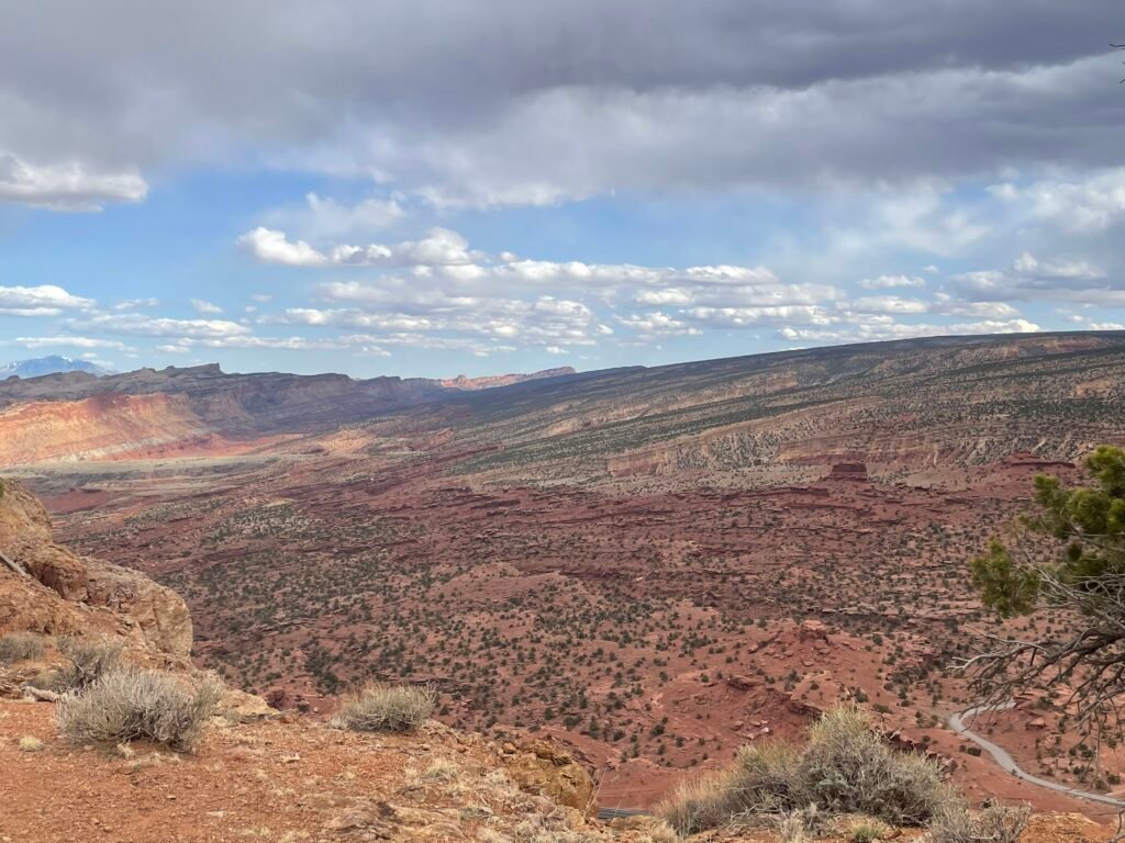
Goosenecks Overlook and Sunset Point – Short trail, follow signs to take the dirt road to the trailhead from 24, west of Fruita. Both take you to spots overlooking a steep canyon with Sulpher Creek cascading far below you. Sunset Point provides a solid vista of the surrounding Reef. Neither are difficult, and provide good views for not a look of work to get there!
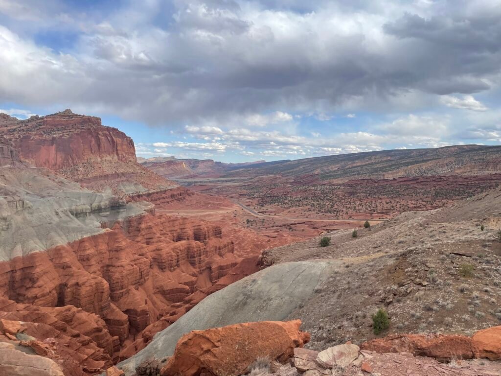
Chimney Rock Trail – my personal favorite trail in Capitol Reef, this steep trail takes you right along a massive ridge, providing sweeping views of the valley and Reef below. Due to how strenuous it is and a general lack of shade, watch the weather and pack lots of water. Starting from a small parking lot/trailhead right near Goosenecks, west of Fruita, the trail rises dramatically over it’s first mile. The loop that greets a hiker after climbing up takes you to two different views: a panorama of Chimney Rock to the right, and views of Waterpocket Fold cliffs to the left. Doing the full loop is preferable, so that you get the best of both world’s. Heck, you already did the hard part climbing up, so why not see everything up there?!
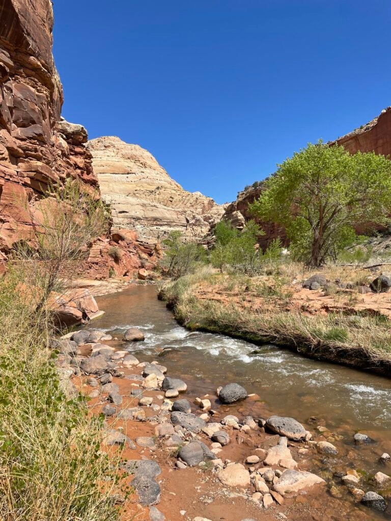
Grand Wash Trail – a tough-to-reach but easy-to-hike trail located a couple of miles down the Scenic Drive. Turn left onto an unpaved road and proceed an additional mile or so. Parking is very limited and you may need to park underneath the rocky overhang a little ways back from the main parking/trailhead. The trail takes you through sandy narrows inside Grand Wash Canyon. Not the most dramatic narrows out there, I would say only do this one if you have multiple days in the park. Still, it is neat to go deep inside canyon walls. The trail ends at Highway 24, an additional but less dramatic starting point for this out-and-back trek.
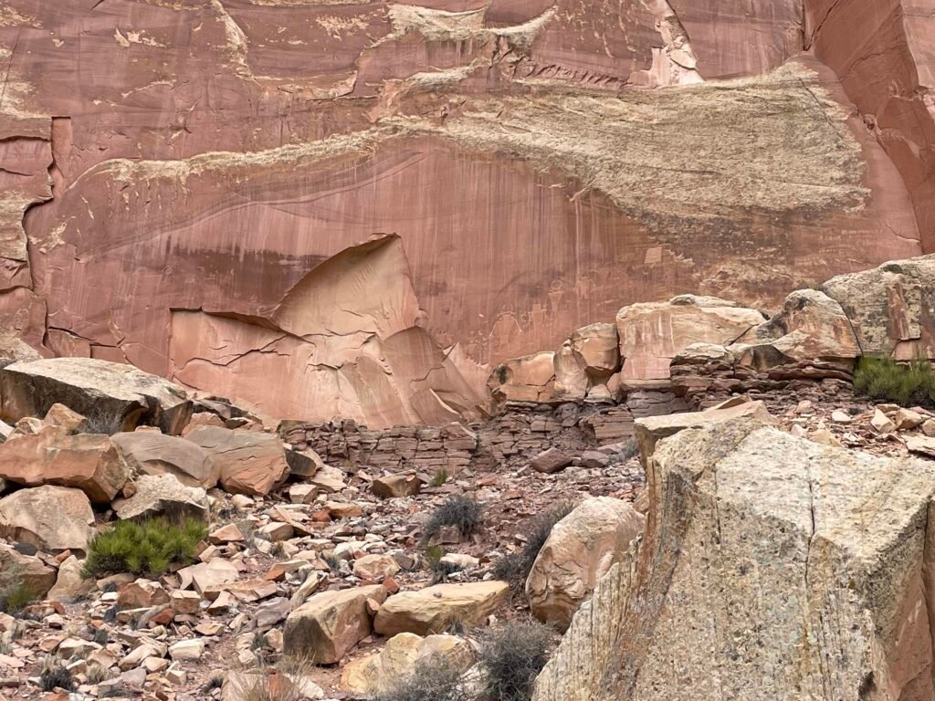
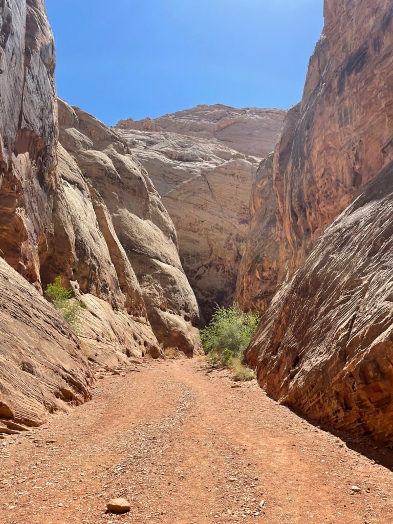
Capitol Gorge Trail – another trail that goes into a canyon, I prefer this to Grand Wash as you have two additional benefits: inscriptions made on the canyon wall by pioneers over 100 years ago have been incredibly preserved, and you can actually hike out of the gorge to “tanks”, little hills that provide a cool view. To reach trailhead, drive to the end of the Scenic Drive and turn left unto an unpaved road, which is maintained enough that even my compact could manage. Follow that road for an additional mile or so until you reach parking and trailhead.
Hickman Bridge & Rim Overlook Trail – definitely worth combining these two hikes into one. My second favorite hike in Capitol Reef is a great sampler platter of everything the park has to offer: start at the trailhead next to the Fremont River, and follow up with a series switchbacks going ever higher. A branch to the right takes you to Hickman Bridge, a dramatic, huge stone arch you can go right under. Back on the main train, keep going up until you reach the Rim Overlook; the view close to the top is the cover photo for this blog. Well worth the calf-busting to get there. This trail is fairly popular and parking may not be the easiest. There is a lot next to the trailhead east of Fruita on 24, but on busy days it will fill up.
Other Well-Regarded Hikes (That I haven’t Done)
Navajo Knobs – continues on from the Rim Overlook Trail described above; proceed an additional 4.7 miles along the rim which eventually takes you to a 360-degree view of your surroundings.
National Park Rankings
- Yosemite National Park
- Olympic National Park
- Mount Rainier National Park
- Kings Canyon National Park
- Zion National Park
- Bryce Canyon National Park
- Arches National Park
- Canyonlands National Park
- Crater Lake National Park
- Indiana Dunes National Park
- Shenandoah National Park
- Capitol Reef National Park
- Acadia National Park
- Redwood National Park
- Pinnacles National Park
- Cuyahoga Valley National Park
- Gateway Arch National Park
A note: as with all reviews to come, this will be updated upon any re-visit to the park. Feel free to comment or send in your own reviews or recommendations and we will get it added here!

