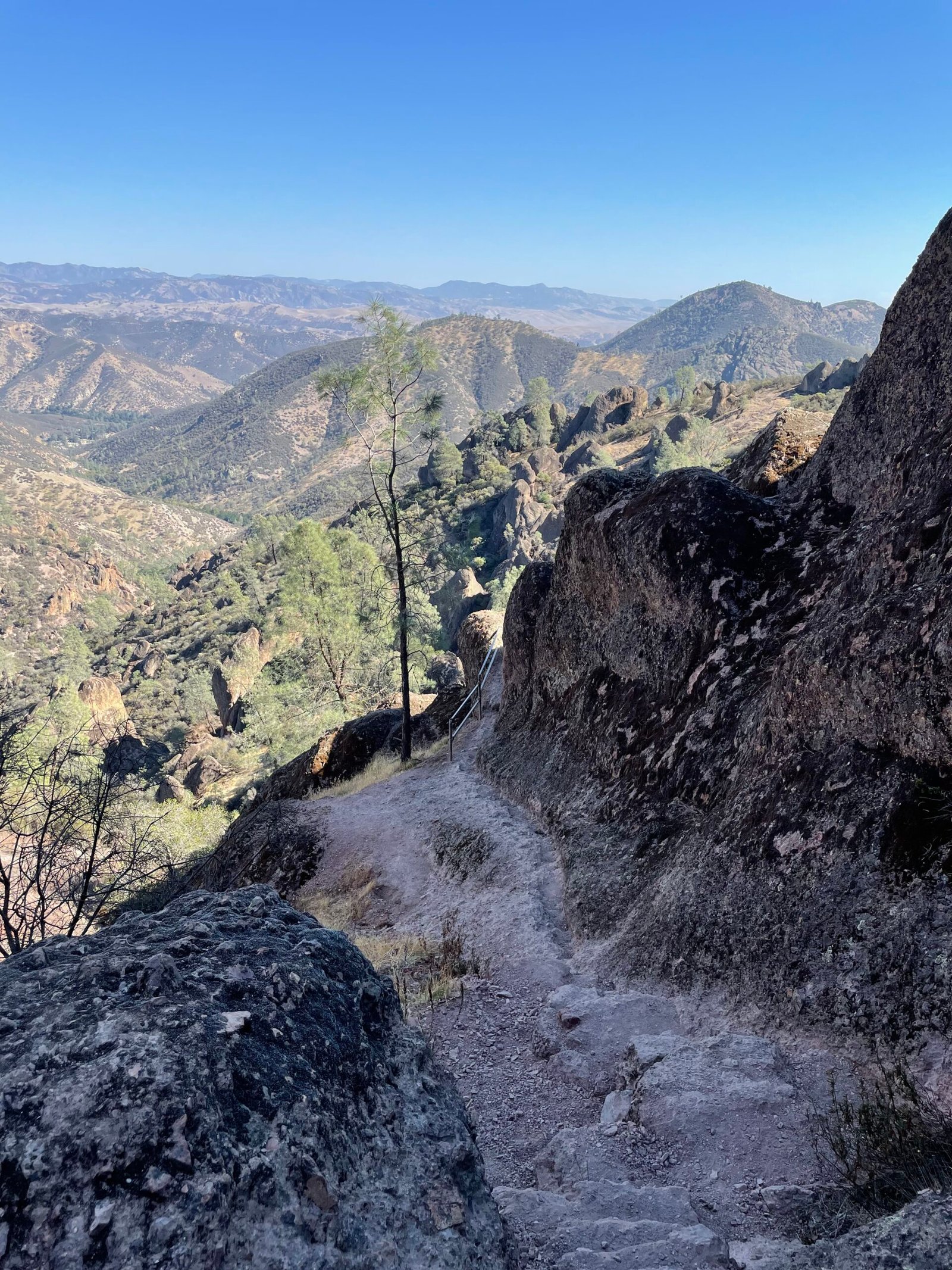
Pinnacles. Sweet, rocky Pinnacles. A park most likely forgotten when one tries to list every national park, how does it stack up to the rest?
What is it?
A gruff exterior with a heart of gold.
The Ridley Review:
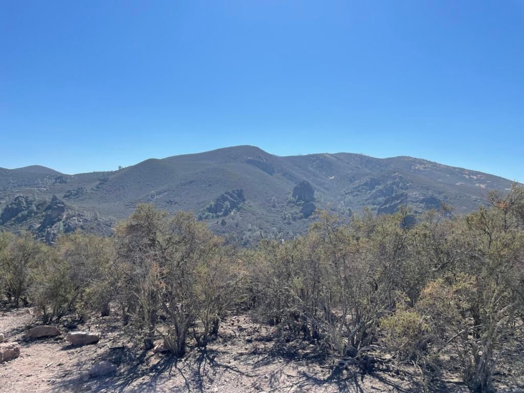
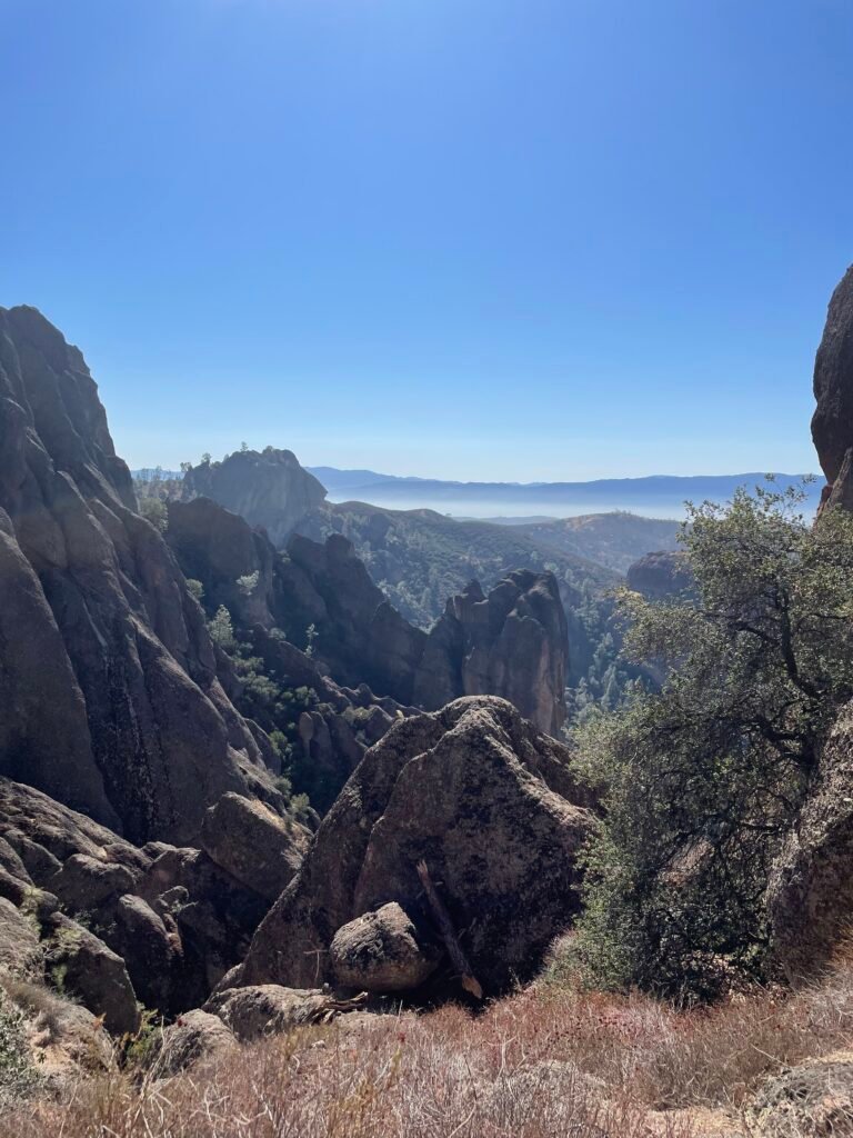
I feel like everyone knows that person: a tough, complicated, difficult to get to know person. Once you peel back the layers, however, you see how amazing they really are. Pinnacles is that person. Newly promoted to National Park status, this joint has only the bare minimum of amenities: two roads, one campsite, limited trails, and few activities outside birding and hiking. There is no postcard feature like Old Faithful or Tunnel View. It’s dusty, mountainous, arid, scraggy, rocky, and there will be Turkey vultures hovering overhead.
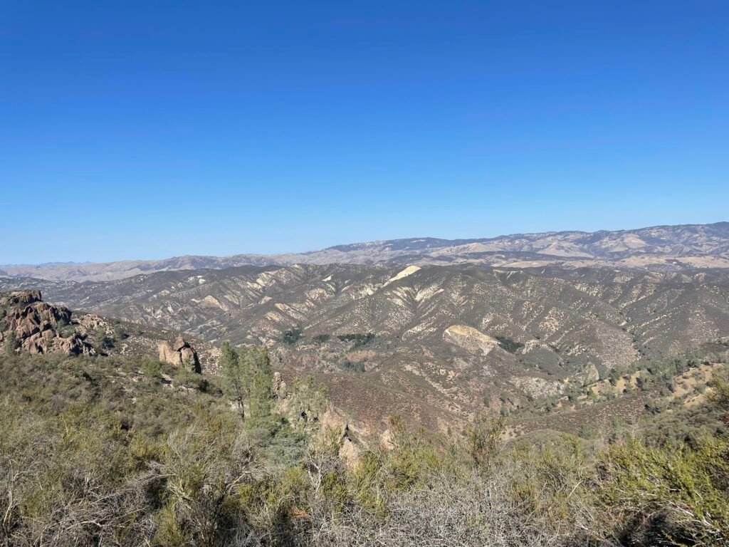
As unappealing as that sounds, it is a beautiful place if you let it charm you in its own, unique Pinnacles way. This is a park unlike any other I’ve experienced thus far in its utter solitude and remoteness. Crowds are non-existent at almost all times of year, and thus you have a national park largely to yourself. There are some great overlooks where you can take in miles and miles of unspoiled landscape.
The Layout
Although roughly shaped like a circle, Pinnacles splits itself into two sections based on accessibility. Two roads enter the park, providing access to each half. Highway 25 has an intersection at the Northeast point of the park with Highway 146, providing access to the Eastern half of the park. Out West, Highway 146 (confusingly NOT connected to the same-named road in the East) enters the park coming from Soledad. While the two roads named 146 do not connect, the trail system that makes up the central portion of the park allows you to access all the major points of interest from either entrance if you are willing to hike to them.
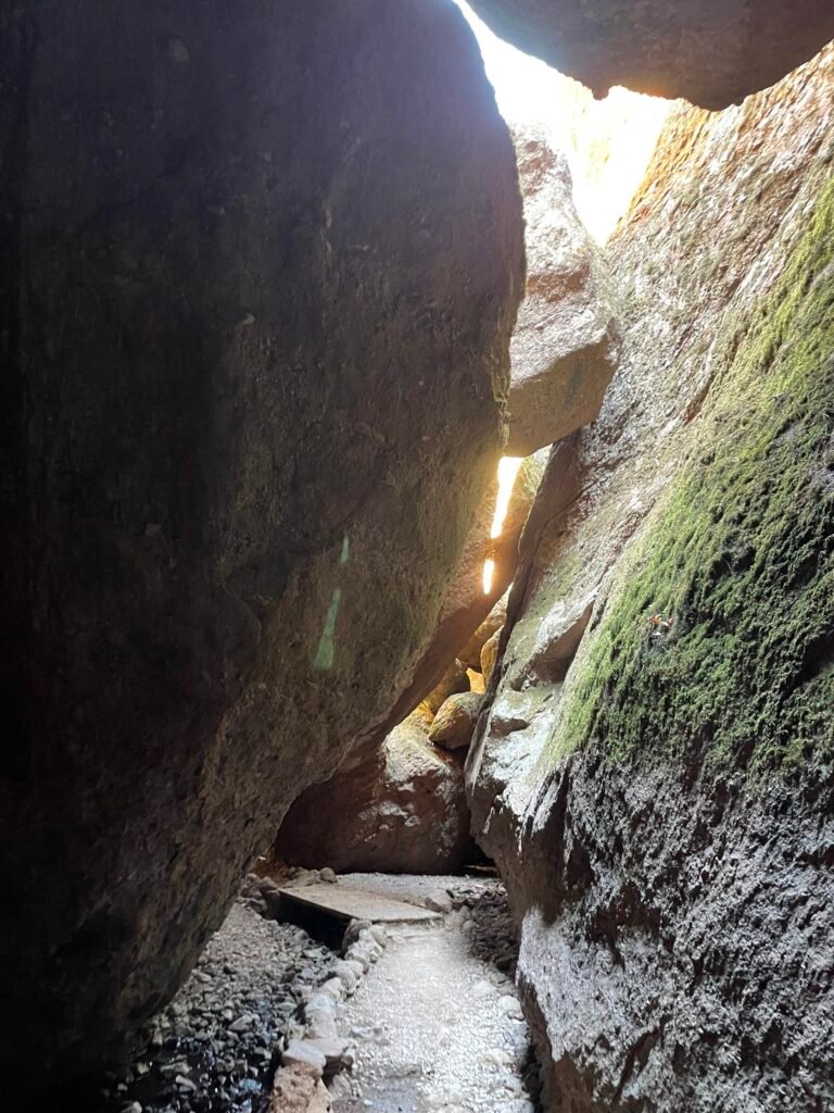
If you don’t feel like hoofing several miles over mountainous desert land, the visitor center, campground, Bear Gulch and it’s cave, High Peaks, and the main birding lookouts are located in the Eastern half. Out West, we find the even more remote Balconies section, complete with another cave.
Activities
Condor connoisseur? This is your place, baby! The best place in the world to view the California Condor in its natural habitat is right here. Shoutout to my cousin, an avid amateur ornithologist, who gave me an in-depth breakdown of what makes Pinnacles such a great location to view them (the rocky nooks and crannies make for a great Hobbit-Hole). Unfortunately, there none out and about when I visited, but the slightly smaller but still imposing Turkey Vulture makes for some fun viewing, especially when they start circling overhead like you are the prey.
Rock climbing is another common activity here: the ample rocky peaks allow for climbing opportunities for all different skills.
Hiking is the main event: several trails take you to the peaks, caves, and reservoir. If you want to really stray off the beaten path, the North Wilderness Trail and Chalone Peaks trails take you to the most remote portions of an already remote park. For more common trails, see below.
Roads and Gas
Gas up! Hollister and King City, the two main towns either direction on Highway 25 in the Eastern half, are 30 miles from the East entrance. Similarly, Soledad is 12 miles from the Western entrance. There is no gas within the park.
Two separate, non-connected portions of Highway 146 provide access to each half of the park. It is a MASSIVE drive from one entrance to the other, so be warned: you are looking at 90 minutes if you want to relocate to the other half.
Rating:
Remote and not a bucket list item, it is a cool place to see if you are in the vicinity.
Fast Facts:
Location: Central California, southeast inland from Monterey Bay
Founded: 2013 (had been a National Monument since 1908)
Size: 41.57 square miles
Cost: $30/car; $55/year1 (Just buy the $80 America the Beautiful pass – full access to every national park for a year)
Visited: 2022
Food & Lodging
Food
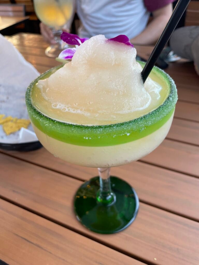
What food?! The campground’s (see below) store has some basic provisions, but that’s all folks! On the way out, though, make sure you hit Tacos Garibaldi in Soledad, home of some elite, local Mexican food and the best d*mn margarita I’ve ever had.
Lodging
One option and one option only: the Pinnacles Campground, accessed from the Eastern entrance. Sites can be booked 6 months in advance here. There is water and even a swimming pool at the campground.
Hotels must be found outside park boundaries. For a budget friendly option, I recommend the Hollister Inn in Hollister. There are more upscale options in the area as well.
Hikes and attractions:
This is a harder section to write then normal: most trails are looped into other ones, making most trails named something like Bear Gulch-to-Balconies Trail. You can choose your own adventure, as many trails overlap, but be careful to make sure you stay on the right trail. Peep a map and you will see what I mean!
Hikes
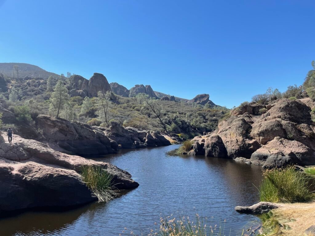
Moses Spring-Bear Gulch Cave-Rim Trail – Eastern half. Park at the Bear Gulch Day Use Area or, if space is available, the closer Moses Spring parking area and hike south, taking Moses Spring Trail until you reach the Bear Gulch cave, where you may see some bats! While narrow in parts, you don’t need to actually be a spelunker to navigate this joint. Once out, you will see the Bear Gulch Reservoir. On the right hand side, take the Rim Trail back to the Moses Spring Trail, keeping a right at an intersection halfway through. Turn left back onto Moses Spring Trail to reach the parking lot.
Condor Gulch to High Peaks Loop Trail (can easily tack on Rim/Bear Gulch Cave/Moses Spring Trail) – Eastern half. From Bear Gulch Day Use Area parking, hike up a lovely ridge with plenty of great birdwatching spots until you reach the High Peaks. Turn left at the intersection with the High Peaks trail and maneuver along some harrowing rock formations with some great views. Return down through some rolling, rocky hills. You have a choice at the end: turn right and add on the the Rim/Bear Gulch Cave/Moses Spring Trail in reverse, or stay left and finish the High Peaks trail, turning left onto Moses Spring Trail at the very end to return to the parking lot.
Big-Name Hikes I haven’t done
Blue Oak Trail – Eastern half. Alternative means of descending from High Peaks Trail; continues you along ridgeline to the Old Pinnacles parking area (turn left at intersection).
Balconies Cliffs-Cave Loop – Western half. The trail name says it all; 2.4 mile loop.
National Park Rankings
- Yosemite National Park
- Olympic National Park
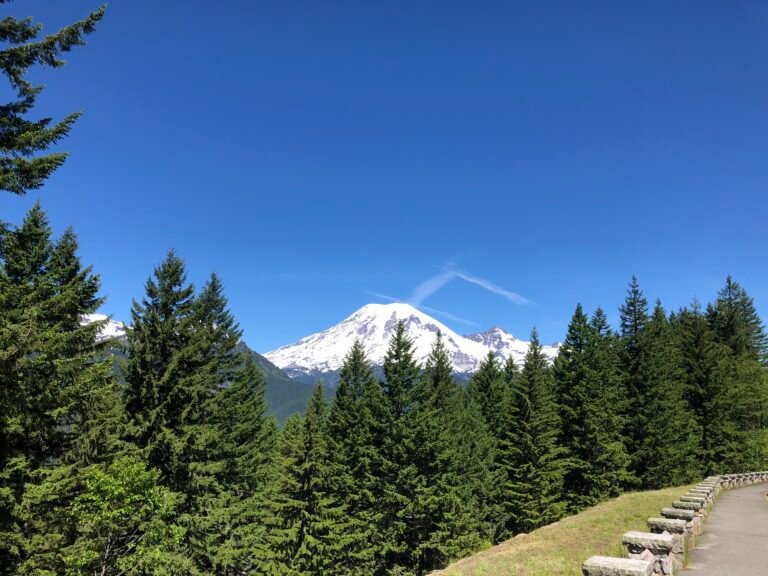
- Mount Rainier National Park
- Kings Canyon National Park
- Zion National Park
- Bryce Canyon National Park
- Arches National Park
- Canyonlands National Park
- Crater Lake National Park
- Indiana Dunes National Park
- Shenandoah National Park
- Capitol Reef National Park
- Acadia National Park
- Redwood National Park
- Pinnacles National Park
- Cuyahoga Valley National Park
- Gateway Arch National Park
A note: as with all reviews to come, this will be updated upon any re-visit to the park. Feel free to comment or send in your own reviews or recommendations and we will get it added here!


That margarita looks amazing! They serve those in the park?
No, that was from an amazing restaurant outside the park – the name escapes me right now but I believe it is in the review in the food section